


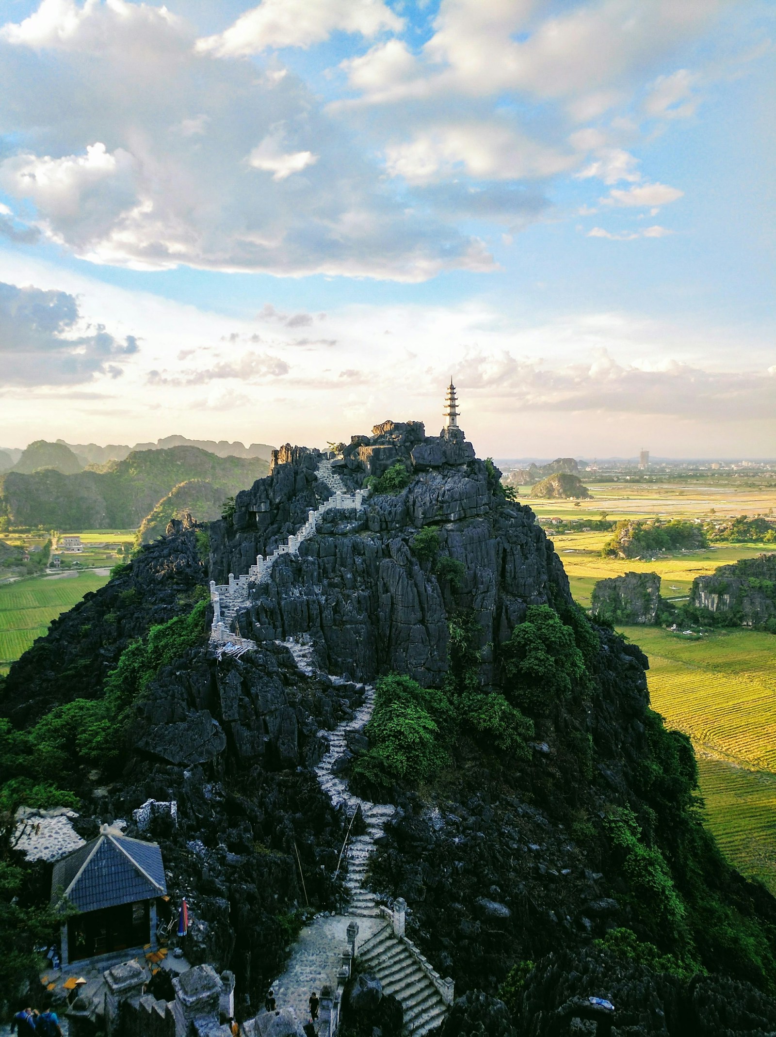
Hanoi sits on the flat Red River Delta, but drive 60–90 minutes in almost any direction and the mountains begin: pine hills to the north, the sacred Ba Vì massif and misty Tam Đảo to the west and northwest, and the limestone karsts of Ninh Bình — "Ha Long Bay on land" — to the south. Here are five summits within 100 km of the city, all doable as a day trip. They range from a 20-minute stair climb to a proper half-day trek with an optional night in a tent. What they share is the payoff: a view worth setting an early alarm for.
1. Tam Đảo — cloud hunting at 1,400 metres
Where: Tam Đảo town, Phú Thọ province (former Vĩnh Phúc), ~80 km northwest of Hanoi, 1.5–2 h by car (view on map)
Elevation: town at ~900 m; the three peaks (Thạch Bàn, Thiên Thị, Phù Nghĩa) at 1,375–1,400 m
Cost: national park fee 20,000–30,000 VND (about $1); most viewpoints in town are free
Getting there: Newway or Tien Thinh shuttle bus from Mỹ Đình station, ~200,000 VND round trip; or a Grab/private car
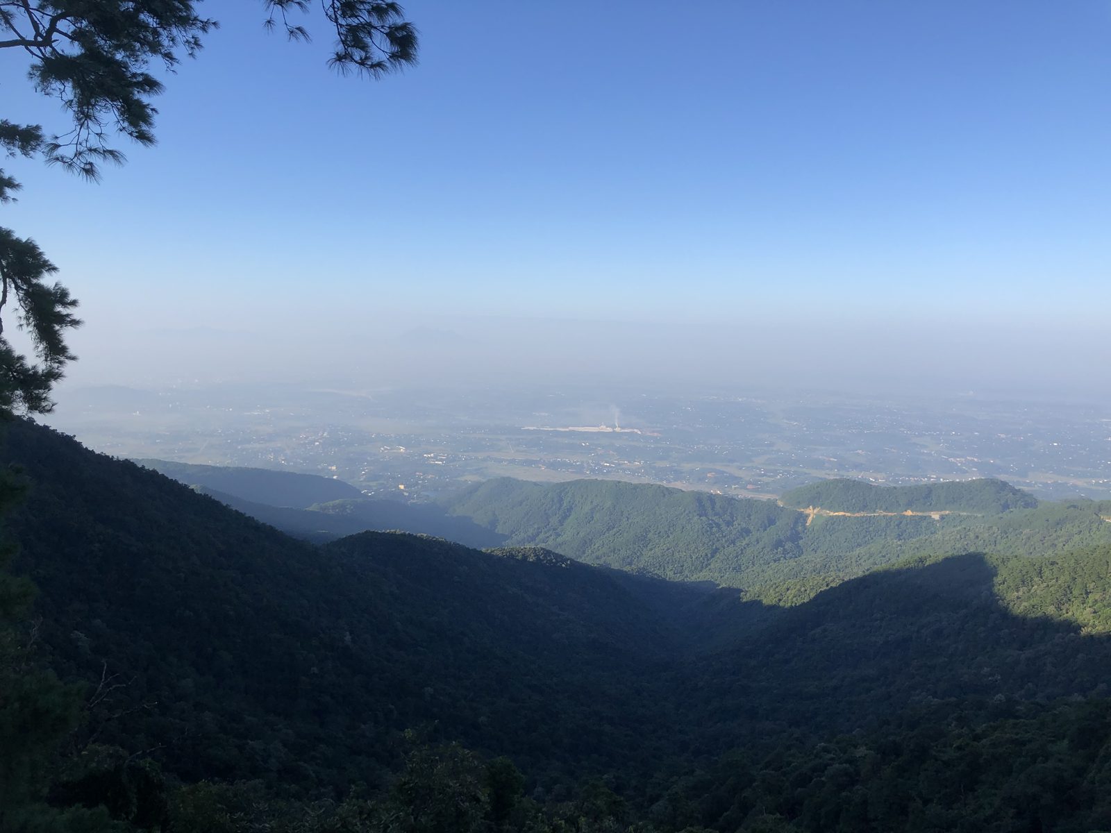
Tam Đảo means "three islands" — on cloudy days the three peaks really do poke out of a white sea like islands. The French figured this out a century ago and built a hill station here; the fog and the chill earned it the nickname "Da Lat of the North". At 900 m, the town stays at a pleasant 22–25 °C even when Hanoi is boiling at 35 °C — it is the closest place to the capital where you'll genuinely want a jacket on a July evening.
The classic viewpoint hike is the stone staircase to the TV tower on Thiên Thị peak: roughly 1,400 steps through forest, orchids and maple trees, with the whole valley spread out at the top. Easier options: the Gothic stone church built in 1937 (free, and gorgeous at sunset) and Cầu Mây — the "Cloud Bridge" photo spot 2 km from the centre. Serious hikers can tackle Thạch Bàn peak on a ~16 km jungle trail — guide required, not a first-trek route.
Cloud-hunting season peaks November–January, when the town often floats above the cloud layer at dawn. In summer there are fewer clouds but post-rain visibility stretches for dozens of kilometres. Come on a weekday if you can: Tam Đảo is Hanoi's favourite weekend escape, and the switchback road up can jam for an hour on Saturdays.
Did you know? The French turned Tam Đảo into a hill station back in the early 20th century — escaping the heat, they built dozens of villas at 900 m. That's why the town still has a European look and the nickname "the Dalat of the North".
2. Ba Vì — three peaks, three climates, one temple in the clouds
Where: Ba Vì National Park, ~60 km west of Hanoi, ~1.5 h by car (view on map)
Elevation: Đỉnh Vua ("King Peak", 1,296 m), Tản Viên (1,226 m), Ngọc Hoa (1,131 m)
Cost: 60,000 VND entry (~$2.50), discounts for students; parking 5,000–55,000 VND
Hours: daily, roughly 6:00–18:00
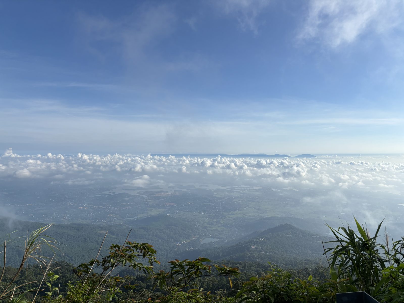
Ba Vì is the sacred mountain of Vietnamese mythology — home of Sơn Tinh, the Mountain God who defeated the Water God in the country's best-known legend. Logistics are easy: a beautifully winding asphalt road climbs through dense forest almost to the top, and only the final stretch is on foot. A staircase of a thousand-plus steps leads up Đỉnh Vua to the Hồ Chí Minh memorial temple; a shorter path climbs neighbouring Tản Viên to the Thượng temple. On a clear day both summits look out over rivers and reservoirs stretching to the horizon.
Make two stops on the way up. At 600–800 m, the jungle hides the ruins of a French colonial hill station — a moss-covered church, a sanatorium, an orphanage and a political prison slowly being swallowed by vines; photographers love the lost-city atmosphere. A kilometre from the main gate there's also a glasshouse with over 1,200 cactus species.
Timing tip: in November the slopes around the 700 m mark turn yellow with wild sunflowers (dã quỳ) — beautiful, but it's also the park's busiest season. In summer Ba Vì works as a natural air conditioner, reliably 7–10 degrees cooler than the city below.
3. Hang Múa, Ninh Bình — 500 steps to Vietnam's postcard view
Where: Khê Hạ, Ninh Xuân, Hoa Lư, Ninh Bình province, ~95 km south of Hanoi, ~1.5 h via expressway (view on map)
Elevation: the viewpoint on Ngọa Long ("Lying Dragon") ridge sits ~140 m above the valley
Cost: 100,000 VND (~$4), small children free
Hours: daily 6:00–19:00
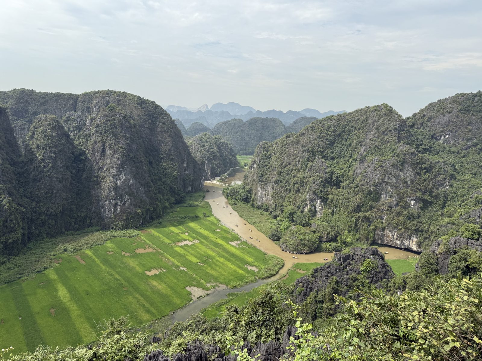
Proof that the best view doesn't need the highest mountain. A stone staircase of about 500 steps — styled after the Great Wall — takes 20–30 minutes and delivers the single most photographed panorama in northern Vietnam: the emerald rice paddies of Tam Cốc, the Ngô Đồng river winding between karst towers, and sampan boats drifting below. At the top the path forks: left along the ridge to the huge stone dragon sculpture, right to a small pagoda with a quieter platform.
Best season: late May to early June, when the rice ripens and the valley turns gold; in June–July the lotus pond at the base blooms too (included in your ticket). Best hours: before 8:00 or after 16:00 — the staircase has no shade, and tour buses arrive mid-morning.
Hang Múa slots perfectly into a Ninh Bình day trip: climb in the morning, then a 2–3 hour rowing-boat ride through Tam Cốc or the UNESCO-listed Tràng An complex, and the ancient capital Hoa Lư before heading back. It's the farthest point on this list — and the only one where you can follow the summit view with a boat ride through the very valley you were just admiring.
Did you know? Ninh Bình is called "Ha Long Bay on land", and the nearby Tràng An complex has been a UNESCO World Heritage Site since 2014 — a rare "mixed" site listed for both nature and culture. There are only a handful like it in all of Southeast Asia.
4. Hàm Lợn — a real trek 40 minutes from the city
Where: Độc Tôn range, Sóc Sơn, ~40–42 km north of Hanoi (on the way to Nội Bài airport), ~1 h by car (view on map)
Elevation: 462 m
Cost: no formal ticket; small local fees for parking/camping; a full overnight camping trip runs ~350,000 VND per person
Hours: open access; climb in daylight
Hàm Lợn is the highest point of the Độc Tôn range in Sóc Sơn — Hanoians nicknamed it "the roof of the capital" back when it topped the city's old boundaries. This is the most outdoorsy pick on the list: no railings, no ticket booth, just a proper (if gentle) trek within an hour of your hotel.
Two routes lead up. The easy one is a 3–4 km trail with a steady gradient — 1.5–2 hours at a relaxed pace, fine for school-age kids. The hard one shortcuts straight up along a stream bed — shorter, steeper, slippery after rain, and the one locals pick for "a real adventure". From the top: green waves of pine forest, lakes below, and planes climbing out of Nội Bài on clear days.
The signature move here is camping at Hàm Lợn lake at the base — tents, campfires, kayaks and BBQ, with all gear rentable on site. The classic weekend plan among young Hanoians: arrive Saturday noon, summit for sunset, descend to the campfire, drive home Sunday. Not staying over? Pair the climb with Việt Phủ Thành Chương, a museum-estate of old Vietnamese architecture 15 minutes away.
5. Núi Trầm — a "mini rock plateau" 25 km from downtown
Where: Phụng Châu, Chương Mỹ, Hanoi, ~25 km southwest of the centre, 40–50 min by car (view on map)
Elevation: ~180 m
Cost: free
Hours: open access; the light is best at dawn and dusk
The closest summit to the city — and the most underrated. Núi Trầm is a limestone ridge of sharp grey crags rising out of the greenery; locals call it a miniature of Hà Giang's rock plateau. The climb takes only 20–30 minutes, but the path runs over bare rock — wear real shoes, not flip-flops. The reward is a landscape you won't see anywhere else this close to Hanoi: rice fields and villages framed by jagged stone teeth, all flooded orange at sunset.
At the base, the 16th-century Trầm Pagoda complex hides shrines and statues in caves and rock niches; a short walk away, the tiny Vô Vi pagoda perches on its own crag with a bonus viewpoint. There's history here too: in December 1946, the Voice of Vietnam radio station broadcast from the Trầm cave in the first days of the resistance war.
Núi Trầm is the perfect half-day mountain: leave the city at 15:00, summit for sunset, be back for a late dinner by 20:00. There's almost no infrastructure — bring water and snacks. That's also the best thing about it: for now, it remains free and pleasantly wild.
Which peak is yours?
- Tam Đảo: ~80 km — 1,400 steps or an easy town stroll — Cool air, clouds, 1–2 days
- Ba Vì: ~60 km — scenic drive + 1,000+ steps — Families with a car, history + nature
- Hang Múa: ~95 km — 500 steps, 20–30 min — The postcard view
- Hàm Lợn: ~42 km — 1.5–2 h trek — Camping and campfires
- Núi Trầm: ~25 km — 20–30 min scramble — Sunset on a half-day
Season cheat sheet: clearest air October–December; Tam Đảo cloud season November–January; golden rice at Hang Múa late May–early June; wild sunflowers at Ba Vì in November. In summer, climb before 9:00 or after 16:00 — and bring more water than you think you need.